
Place
Lasha
LAY-shaOld Testament · the days after the Flood
A place named as one of the far corners of the land of the Canaanites, in the list of nations after the Flood. Where it was isn't certain.
- Where
- Probably near the Dead Sea; the site isn't certain
- Known for
- Marking the edge of Canaanite land
- Today
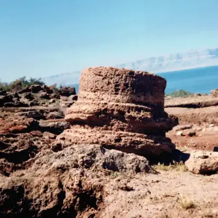
- probably Callirrhoe, in Jordan, about 55 km south-west of Amman.
Lasha is named once, at the end of a line that traces the borders of the Canaanites in the list of nations after the Flood. The border ran from Sidon in the north down to Gerar and Gaza, and then towards Sodom, Gomorrah, Admah and Zeboim, "even unto Lasha" (Genesis 10:19). So it lay somewhere at the south-eastern edge of the land, near the cities of the plain. An old tradition placed it at the hot springs of Callirrhoe, on the east shore of the Dead Sea, but the site isn't certain. The verse reminds us that the land God later promised to Abraham already had known borders.
Key verses
- Genesis 10:19
And the border of the Canaanites was from Sidon, as thou comest to Gerar, unto Gaza; as thou goest, unto Sodom, and Gomorrah, and Admah, and Zeboim, even unto Lasha.
On the map
Mentioned in 2 verses
- Genesis 1
- Numbers 1
Read next
 Place · CitySidonOne of the two great Phoenician port cities, with Tyre. Its sailors and craftsmen were famous, its goddess Ashtoreth…
 Place · CityGerarA Philistine town south of Gaza where both Abraham and Isaac lived for a time, passed off their wives as sisters, and…
 Place · CityGazaThe southernmost of the five Philistine cities, on the coast road to Egypt. Samson carried off its gates and later died…
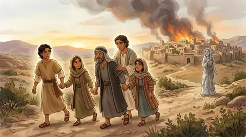 Place · CitySodomThe rich, wicked city by the Dead Sea where Lot settled. Abraham pleaded for it, but ten righteous people were not to…PlaceGomorrahSodom's sister city, destroyed with it by fire from heaven for its wickedness. Ever after, Sodom and Gomorrah stand…Place · CityAdmahA city on the plain near the Dead Sea, one of five destroyed along with Sodom and Gomorrah. Its fate became a byword…PlaceZeboimA valley in Benjamin toward the wilderness, which Philistine raiders made for in Saul's day, and a town where…
Written for this app in its own words, from the Bible, with the facts checked against Bible dictionaries and encyclopedias: Easton's, Smith's, Fausset's, ISBE, Holman, the New Bible Dictionary, Vine's and the Thompson Chain topics. People and places: STEPBible.org (TIPNR), CC BY 4.0; where a place is today and its photo: OpenBible.info, CC BY 4.0.
