
Place · Town
Hazar-enan
HAY-zar EE-nan"Village of springs" · on Israel's far north-east border · the site isn't certain
A town marking the north-east corner of the land God promised to Israel. Moses named it as the end of the northern border, and Ezekiel used it again for the land restored.
- Where
- The north-east frontier, towards Damascus and Hamath; perhaps Qaryatayn in Syria
- Meaning
- Village of springs
- Today
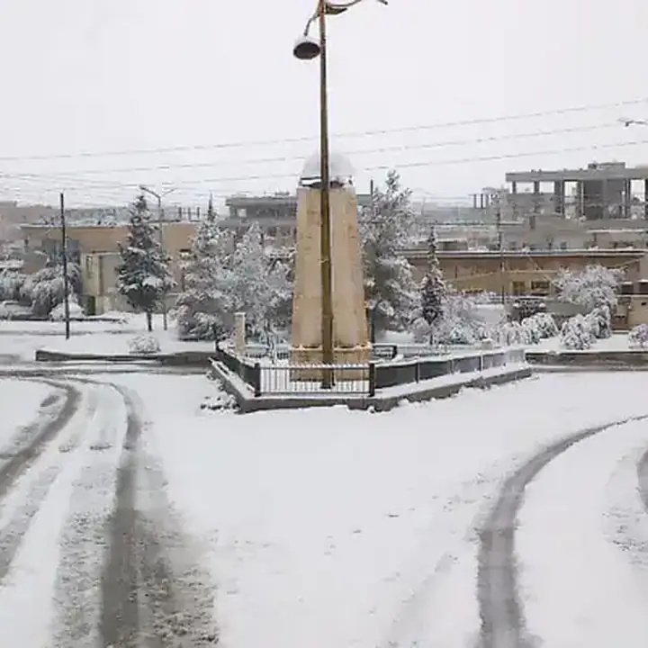
- probably Al Qaryatayn, in Syria, about 75 km south-east of Homs.
When God described the borders of the Promised Land to Moses, the northern line ran from the Mediterranean, past the entrance of Hamath, and ended at Hazar-enan. From there the eastern border turned south towards the Sea of Galilee (Numbers 34:9–10).
Centuries later, during the exile, Ezekiel saw a vision of the land divided once more among the twelve tribes, and he drew its northern border with the same landmarks, from the sea "unto Hazarenan, the border of Damascus" (Ezekiel 47:17). The tribe of Dan was to have its share at that northern edge (Ezekiel 48:1). Where the town stood isn't certain; it may have been an oasis in the Syrian desert north-east of Damascus.
Key verses
- Numbers 34:9–10
And the border shall go on to Ziphron, and the goings out of it shall be at Hazar–enan: this shall be your north border. And ye shall point out your east border from Hazar–enan to Shepham:
- Ezekiel 47:17
And the border from the sea shall be Hazar–enan, the border of Damascus, and the north northward, and the border of Hamath. And this is the north side.
- Ezekiel 48:1
Now these are the names of the tribes. From the north end to the coast of the way of Hethlon, as one goeth to Hamath, Hazar–enan, the border of Damascus northward, to the coast of Hamath; for these are his sides east and west; a portion for Dan.
On the map
Mentioned in 4 verses
- Numbers 2
- Ezekiel 2
Read next
 Place · CityDamascusThe ancient capital of Syria, 130 miles north of Jerusalem, for centuries Israel's rival and enemy. On the road to…
 Place · CityHamathA great city and kingdom on the river Orontes in Syria, north of Israel. Its pass marked the northern edge of the…
 PersonMosesThe man God used to bring Israel out of Egypt, give them his Law at Sinai, and lead them for forty years in the…
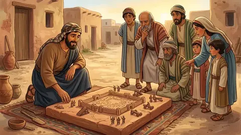 PersonEzekielA priest and prophet taken to Babylon with the exiles from Judah. By the river Chebar he saw visions of God's glory and…
 Place · Tribe · PersonDanJacob's fifth son, the tribe that came from him, and the city in the far north that the tribe captured and renamed.…
Written for this app in its own words, from the Bible, with the facts checked against Bible dictionaries and encyclopedias: Easton's, Smith's, Fausset's, ISBE, Holman, the New Bible Dictionary, Vine's and the Thompson Chain topics. People and places: STEPBible.org (TIPNR), CC BY 4.0; where a place is today and its photo: OpenBible.info, CC BY 4.0.
