
Place
Hazar-addar
HAY-zar AD-darOld Testament · the time of Moses, about 1406 BC · also called Adar · the site isn't certain
A place on the southern border of the Promised Land, between Kadesh-barnea and Azmon, named when God showed Moses the boundaries of Canaan.
- Where
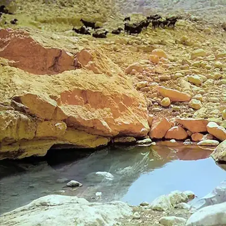
- The desert south of Canaan, near Kadesh-barnea; the site isn't certain
- Also called
- Adar (Joshua 15:3)
- Meaning
- Village of Addar
- Today
- probably Ein Qedeis, in Egypt, about 90 km south-east of El Arish.
Before Israel entered the land, God told Moses exactly where its borders would run. The southern border started at the tip of the Salt Sea, climbed the ascent of Akrabbim, ran on to Zin and passed south of Kadesh-barnea. Then it "shall go on to Hazaraddar, and pass on to Azmon", and from there to the brook of Egypt and the sea (Numbers 34:3–5).
When Joshua described the border of Judah, he named the same place more briefly as Adar (Joshua 15:3). It was a settlement in the dry country south of the land, but the exact site isn't certain. The careful line of names showed Israel that God's gift was real and had real edges.
Key verses
- Numbers 34:4
And your border shall turn from the south to the ascent of Akrabbim, and pass on to Zin: and the going forth thereof shall be from the south to Kadesh–barnea, and shall go on to Hazar–addar, and pass on to Azmon:
- Joshua 15:3
And it went out to the south side to Maaleh–acrabbim, and passed along to Zin, and ascended up on the south side unto Kadesh–barnea, and passed along to Hezron, and went up to Adar, and fetched a compass to Karkaa:
On the map
Mentioned in 1 verse
- Numbers 1
Read next
 PlaceKadeshThe oasis in the desert south of Canaan where Israel camped for much of the forty years. From here the spies went out…
 PersonMosesThe man God used to bring Israel out of Egypt, give them his Law at Sinai, and lead them for forty years in the…PlaceZinA wilderness on the southern edge of the Promised Land, where Kadesh lay. Israel camped there in the desert years, and…
 PersonJudahJacob's fourth son, who became leader among his brothers and the father of Israel's royal tribe. David, the kings of…
Written for this app in its own words, from the Bible, with the facts checked against Bible dictionaries and encyclopedias: Easton's, Smith's, Fausset's, ISBE, Holman, the New Bible Dictionary, Vine's and the Thompson Chain topics. People and places: STEPBible.org (TIPNR), CC BY 4.0; where a place is today and its photo: OpenBible.info, CC BY 4.0.
