
Place · Town
Chesalon
KES-a-lonOld Testament · on Mount Jearim · today Kesla, west of Jerusalem
A landmark on the line marking the north edge of Judah, on the slopes of Mount Jearim, between Kiriath-jearim and Beth-shemesh.
- Where
- On the north side of Mount Jearim, on Judah's border with Dan
- Today
- Kesla, about 10 miles (15 km) west of Jerusalem
- Also called
- Mount Jearim, "mountain of forests"
When Joshua set out the borders of the tribe of Judah, the northern line ran west from Jerusalem past Kiriath-jearim, "unto mount Seir, and passed along unto the side of mount Jearim, which is Chesalon, on the north side, and went down to Bethshemesh" (Joshua 15:10). So Chesalon stood on a wooded ridge where the hill country begins to fall away towards the lowland. The village of Kesla, on a hilltop west of Jerusalem, still keeps the name.
Key verses
- Joshua 15:10
And the border compassed from Baalah westward unto mount Seir, and passed along unto the side of mount Jearim, which is Chesalon, on the north side, and went down to Beth–shemesh, and passed on to Timnah:
On the map
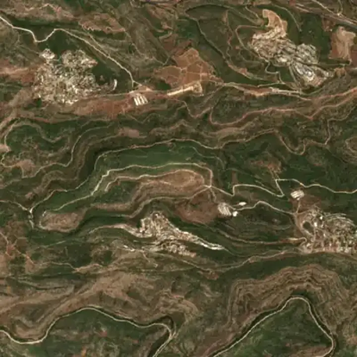
Mentioned in 1 verse
- Joshua 1
Read next
 PersonJudahJacob's fourth son, who became leader among his brothers and the father of Israel's royal tribe. David, the kings of…
 Place · Tribe · PersonDanJacob's fifth son, the tribe that came from him, and the city in the far north that the tribe captured and renamed.…
 PlaceJerusalemThe city David made his capital and where Solomon built the temple. Jesus died and rose there and the church began…
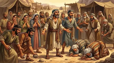 PersonJoshuaMoses' helper who took over from him and led Israel across the Jordan into the Promised Land. He fought the wars of…
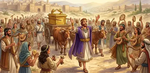 Place · TownKiriath-jearimA hill town on the border of Judah and Benjamin where the ark of the covenant stayed for twenty years, in the house of…
Written for this app in its own words, from the Bible, with the facts checked against Bible dictionaries and encyclopedias: Easton's, Smith's, Fausset's, ISBE, Holman, the New Bible Dictionary, Vine's and the Thompson Chain topics. People and places: STEPBible.org (TIPNR), CC BY 4.0; where a place is today and its photo: OpenBible.info, CC BY 4.0.
